Atšķirības starp "Attēls:Map of British Empire.jpg" versijām
No ''Vēsture''
(Britu impērijas shematiska karte. (''The Commonwealth of Nations - or the British Empire. Published by the Christian Science Monitor, April 22, 1937'') Attēls no: http://www.literacyla.org/Victorian%20Bathroom.htm Kategorija:Kartes) |
m |
||
| 1. rindiņa: | 1. rindiņa: | ||
| − | Britu impērijas shematiska karte. (''The Commonwealth of Nations - or the British Empire. Published by the Christian Science Monitor, April 22, 1937'') Attēls no: http://www.literacyla.org/Victorian%20Bathroom.htm | + | Britu impērijas/sadraudzības shematiska karte. (''The Commonwealth of Nations - or the British Empire. Published by the Christian Science Monitor, April 22, 1937'') Attēls no: http://www.literacyla.org/Victorian%20Bathroom.htm |
[[Kategorija:Kartes]] | [[Kategorija:Kartes]] | ||
Pašreizējā versija, 2008. gada 5. decembris, plkst. 12.39
Britu impērijas/sadraudzības shematiska karte. (The Commonwealth of Nations - or the British Empire. Published by the Christian Science Monitor, April 22, 1937) Attēls no: http://www.literacyla.org/Victorian%20Bathroom.htm
Faila hronoloģija
Uzklikšķini uz datums/laiks kolonnā esošās saites, lai apskatītos, kā šis fails izskatījās tad.
| Datums/Laiks | Attēls | Izmēri | Dalībnieks | Komentārs | |
|---|---|---|---|---|---|
| tagadējais | 2008. gada 28. oktobris, plkst. 09.12 | 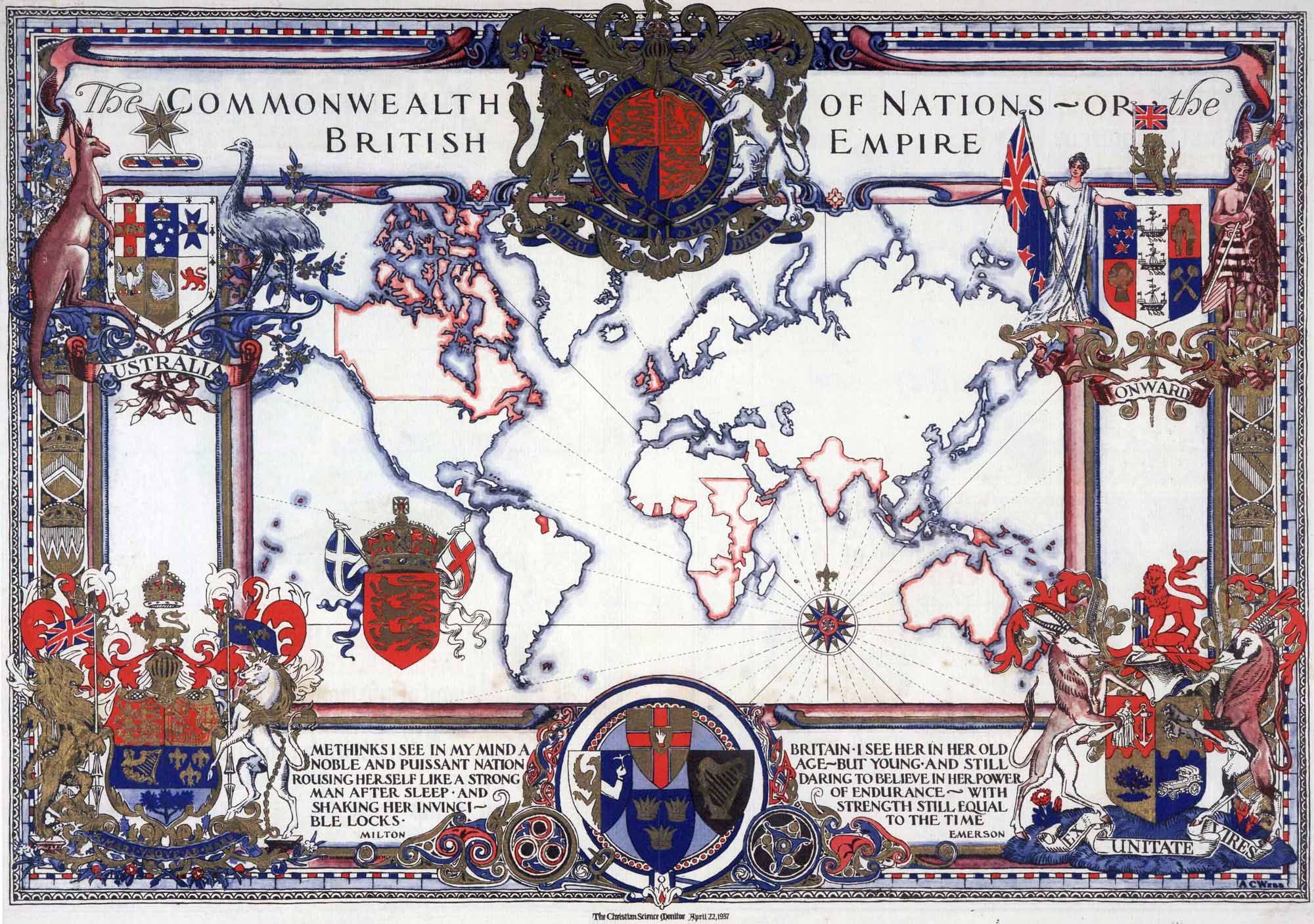 | 2 000 × 1 407 (465 KB) | Buks Artis (Diskusija | devums) | Britu impērijas shematiska karte. (''The Commonwealth of Nations - or the British Empire. Published by the Christian Science Monitor, April 22, 1937'') Attēls no: http://www.literacyla.org/Victorian%20Bathroom.htm Kategorija:Kartes |
- Šo failu nevar pārrakstīt.
Faila lietojums
Šajās 2 lapās ir saites uz šo failu: